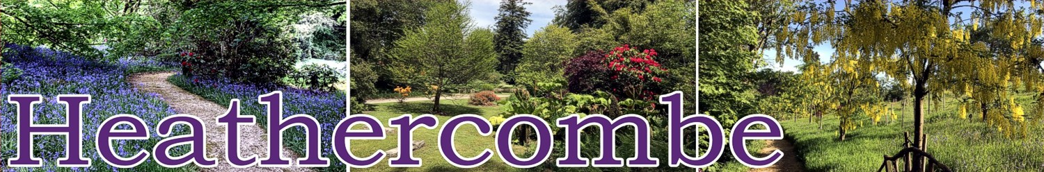
Welcome to Heathercombe
Heathercombe is a small valley on East Dartmoor in the parish of Manaton. It lies between 290 metres (950 feet) and 440 metres (1,450 feet) above sea level and between, on one side, the wide expanse of open moor stretching from Hameldown towards the west and, on the other side, the farms of Manaton, North Bovey and Widecombe.
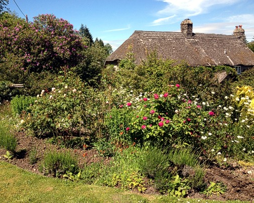
The Heathercombe Burn runs down from the open moor through the valley. The higher slopes of the valley are wooded, but beside the Burn, which runs through several ponds and a lake, there are woodland gardens, meadows and two medieval Dartmoor longhouses. A residential centre, High Heathercombe, lies close to the open moor on the west while a fourth property, Manwood, lies lower down on the east side.
Hut circles in the valley are evidence of its occupation since the Bronze Age. The story of Heathercombe is recounted in ‘Heathercombe: The History of a Dartmoor Valley’ by Claude Pike (Westcountry Books 1993).
Most of the valley is now owned by the Claude & Margaret Pike Woodlands Trust, a charity whose aim is to maintain and protect Heathercombe’s special characteristics on a sustainable basis for the public benefit.
Heathercombe gardens are open to the public under the National Gardens Scheme. The Mariners’ Way, part of the eastern route of the Two Moors Way long distance footpath, runs through the valley and parts of the woodlands. The woodlands comprise both deciduous and conifer plantations, and are managed with a view to the production of valuable timber. The valley’s varied habitats are home to a wide range of plant and wild life.